
What
is Map My Survey?
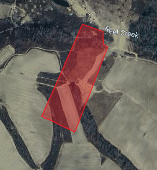
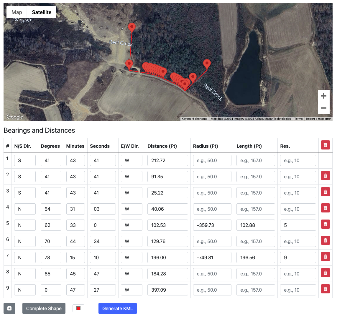
Map My Survey is a tool that turns your survey or legal description into your own personal map. Simply enter the data from your survey, generate your KML file, and import it into your preferred mapping software (we recommend Google Earth).
Who
is Map My Survey for?
This tool was built for homesteaders like us, who understand the importance of planning when it comes to land development. Map My Survey helps you design your property for future generations while also impressing your friends with project updates.
If you're a business interested in bulk services, contact us.
Why
was this tool made?
When I bought 50 acres of raw land for our homestead, I couldn't find the right tools. Everything was too expensive, outdated, or missing key features like handling arcs and north formatting.
I ended up manually collecting GPS data for each survey point, which was time-consuming and not as accurate as I'd hoped. Map My Survey simplifies this process, letting you skip the technical headaches and jump straight to the fun part of designing your land.
How
do I use Map My Survey?
For detailed instructions and an optional video tutorial on how to use this tool, click here.